


03 Nov 2026

Tired Earth
By The Editorial Board
Weather models are forecasting a weakening of the stratospheric polar vortex in the coming days—well before the period when it would normally strengthen. A possible sudden stratospheric warming event could, in time, favor colder conditions over northern Europe.
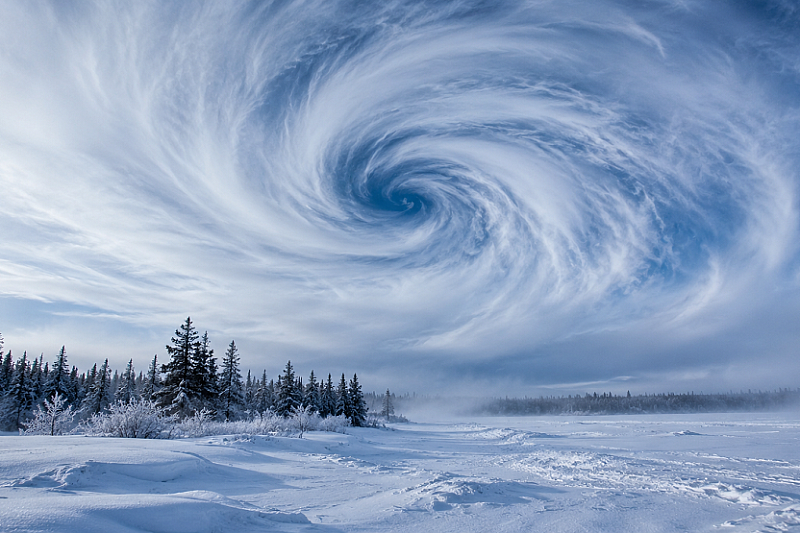
The stratospheric polar vortex, the vast circulation of westerly winds that encircles cold air above the Arctic, could undergo an exceptionally early weakening. Although it would normally strengthen as winter approaches, forecast models suggest a significant deceleration over the next ten days.
A major Sudden Stratospheric Warming (SSW) event is conceivable. Such episodes occur when temperatures in the upper stratosphere rise abruptly—sometimes by 50°C in a matter of days—weakening or reversing the winds surrounding the vortex. The earliest ever recorded dates back to November 28, 1968. An event in early November would therefore constitute a marked anomaly in the atmospheric calendar.
What This Could Change for Europe
The effects of an SSW are not felt immediately at ground level. They typically take several weeks to propagate down into the troposphere. Forecasters stress that the next two to three weeks should not bring a severe cold spell. However, the probability of colder and more stable conditions over northern Europe could increase as the start of winter approaches.
The mechanism is well known: when an SSW disrupts the vortex, it can alter the trajectory of the jet stream and favor the establishment of persistent high-pressure zones over the North Atlantic and Scandinavia. The result: northern Europe tends to experience dry, cold periods, while the south remains milder, wetter, and windier.
Still Considerable Uncertainty
Caution is nonetheless warranted. Models clearly favor a weakening of the vortex, but the complete reversal of winds required to qualify as a major SSW remains uncertain. The probabilities displayed by different systems (GEFS, ECMWF, and AI models) vary appreciably and above all describe the spread of simulated scenarios, not a certain forecast.
The UK Met Office also reminds us that the polar vortex and El Niño are large-scale influences that shift probabilities, not deterministic forecasts. Neither can announce snow at a specific location in advance.
Meanwhile, Italy Under Water
On the Mediterranean front, a depression that deepened last week is bringing intense rain and strong winds to central and southern Italy. More than 100 mm of rain is expected in 24 hours over the highlands of the south, and alerts have been issued for these areas. The disturbance, named Agneta, has already struck Apulia and Basilicata, with gusts reaching 100 km/h and snowfall over the Apennines. An improvement is expected from Tuesday, with the return of high pressure.

Plastic Pollution in Cameroon and Africa Plastic Pollution in Cameroon and Africa

The best of Tired Earth delivered to your inbox
Sign up for more inspiring photos, stories, and special offers from Tired Earth
By signing up for this email, you are agreeing to news, offers, and information from Tired Earth. Click here to visit our Privacy Policy.



Comment